Map of Malta
Maps of Malta
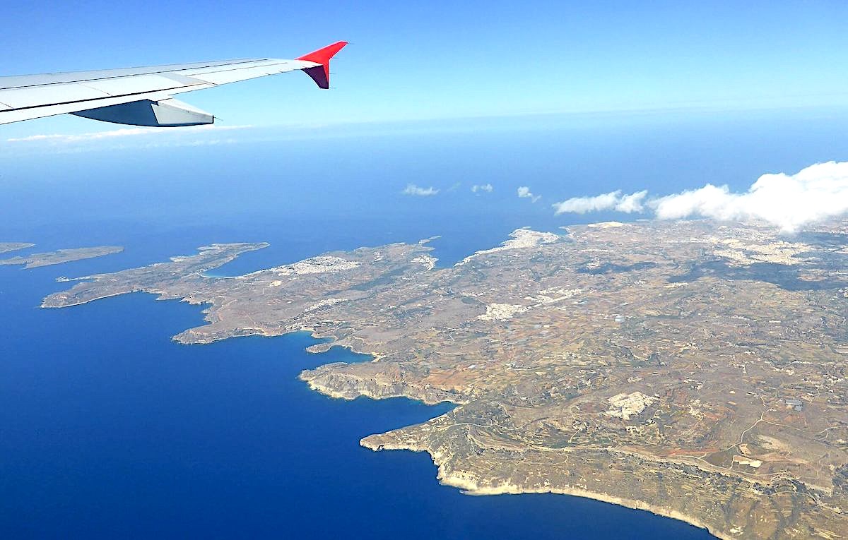
Malta, the small island country at the heart of the Mediterranean, is not made up of just one island, but actually of an archipelago formed by 3 main islands and several islets.
- Malta, the main island after which the country is named. It is the largest and most populated, where the capital Valletta and most of the country’s infrastructure are located.
- Gozo, the secondary island. Smaller and more rural, much less populated than the main island, it is known for its more natural and preserved environment.
- Comino, preserved and uninhabited, is famous for housing the renowned Blue Lagoon of Malta (Blue Lagoon).
In addition to the three main islands, Malta also has several islets, small and uninhabited: Cominotto, Filfla, St. Paul’s Islands, and Manoel Island.
The map with the most important islands and cities of Malta
The Maltese archipelago boasts numerous emblematic cities, each with its own characteristics, sometimes symbols of Malta’s historical heritage, sometimes revamped to meet the touristic needs of the archipelago.
Valletta, the capital of Malta and a UNESCO World Heritage site, is often described as an open-air museum, thanks to its impressive Baroque buildings dating from the time of the Knights of the Order of Malta. Mdina, the former capital and nicknamed the “silent city,” seems frozen in time with its narrow streets and medieval architecture. Sliema and St. Julian’s, symbols of modern, internationally-oriented Malta and tourism, offer a dynamic atmosphere mixing modernity, leisure, and splendid views of the Mediterranean Sea.

The map of Malta with the most beautiful beaches
Malta, a predominantly rocky island, offers a wide variety of coves, limestone cliffs, natural pools, and a few beaches scattered across the archipelago. It is also famous for its Blue Lagoon, located between Comino and Cominotto, highly popular among holidaymakers. Finally, the archipelago is a renowned destination for divers, attracted by its warm, crystal-clear waters as well as its rich marine biodiversity and shipwrecks.

Where is Malta located?
Malta is an island nation located in the south of Europe, in the middle of the Mediterranean Sea, 93 kilometers south of Sicily. Its main island, Malta, covers an area of 246 square kilometers, with a length of 28 km and a maximum width of 13 km. The total area of the Maltese archipelago, including all the islands such as Malta, Gozo, Comino, and the smaller uninhabited islands, is approximately 316 square kilometers. The archipelago is considered one of the six micro-states of the European continent and is also among the 10 smallest countries in the world by area.
The Maltese archipelago is modest in size and does not have an extensive transport system: no trains, subways, or trams; only buses serve as a public transportation system.
