Geography of Malta: Main Characteristics
Malta, the Main Island

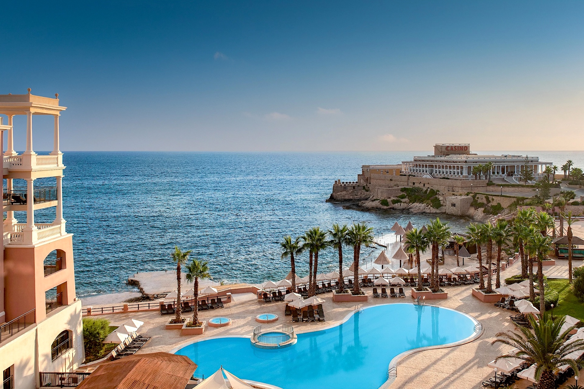
The largest of the 8 islands of Malta is named Malta, just like the country. It measures 27 km in length and 14.5 km in width.
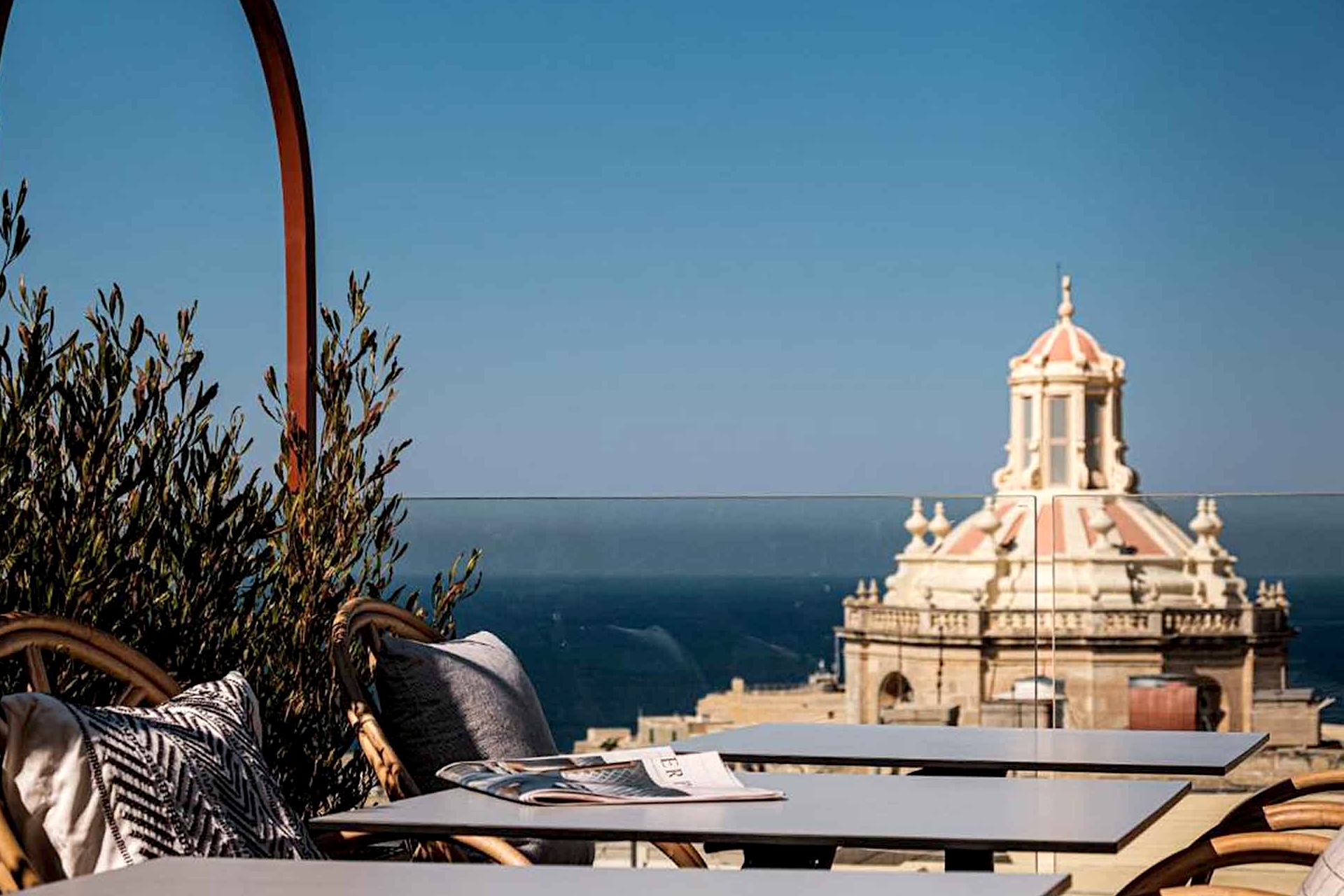
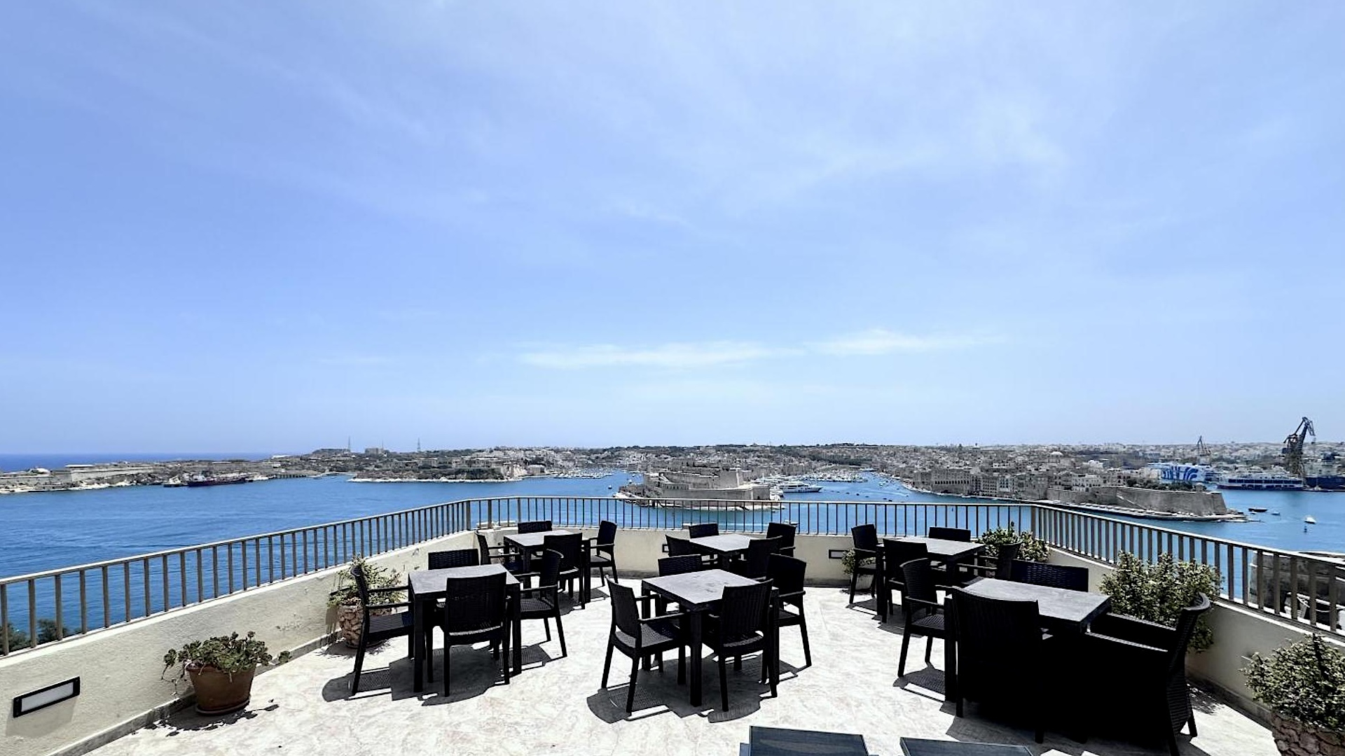
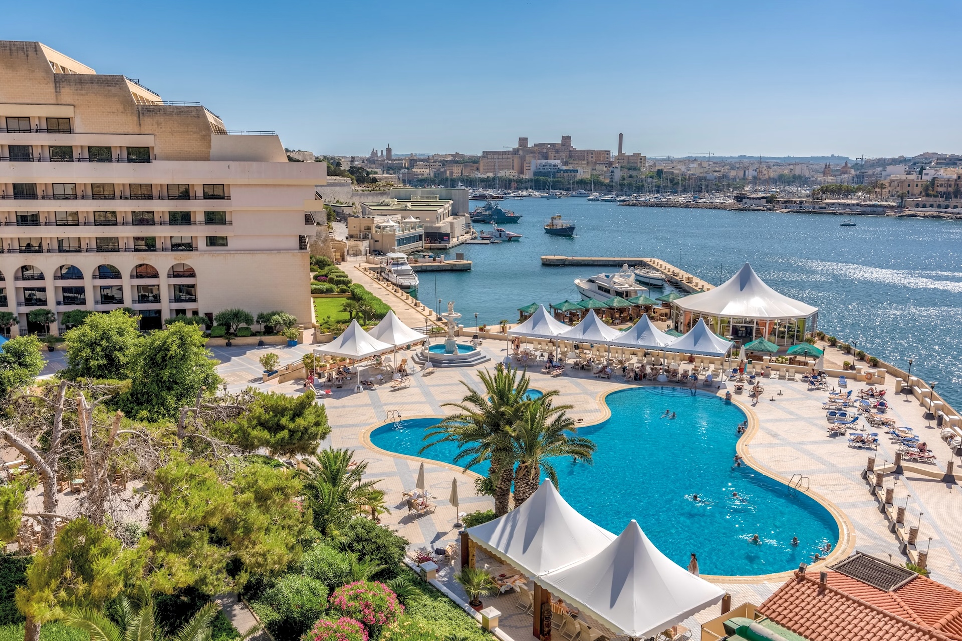
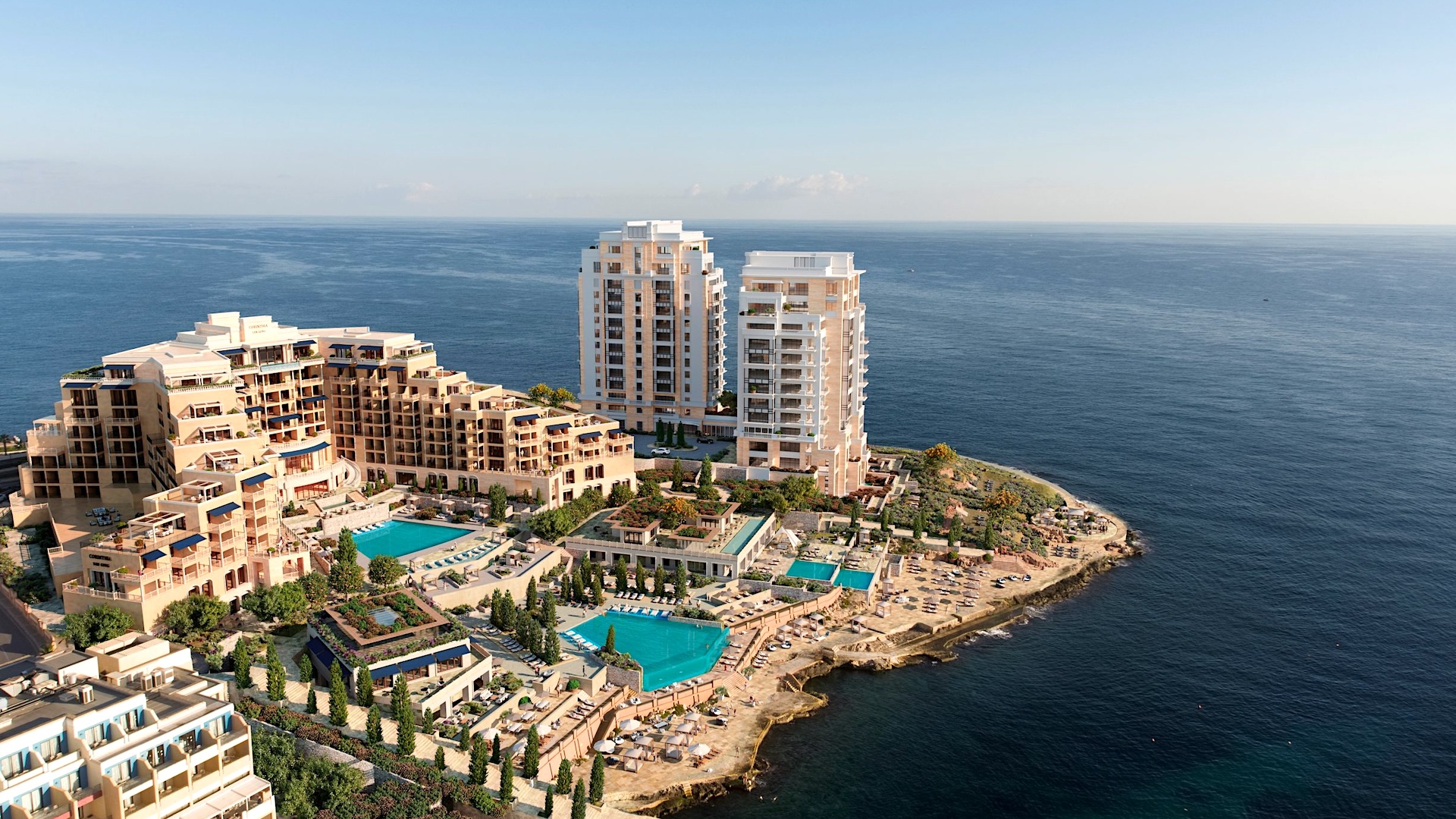
The main island concentrates the majority of the country’s economic activity, including the capital (Valletta), the international airport and most of the tourist sites.
Malta is an extremely urbanized and densely populated island, especially along the coastline that stretches from Gzira to Saint Paul’s Bay.
Gozo

Gozo, the second largest island of the Maltese archipelago, is located north of the main island. With a length of only 14 kilometers, it is sometimes nicknamed “the island of 10 minutes,” because it is possible to cross Gozo in a very short time.
Gozo stands out for its authenticity, preserved traditions, and a more abundant nature, offering a striking contrast to the hustle and urbanization of the main island. This feature makes it a favored destination for travelers seeking tranquility.
To get to Gozo from the main island, visitors must take the ferry at Ċirkewwa, via Gozo Channel. This journey simultaneously separates and connects the two islands.
Comino

The island of Comino, measuring only 2.6 kilometers in length, is a primarily rocky island famous for its Blue Lagoon (the Fliegu Strait), which separates it from the nearby island of Cominotto.
As a preserved natural reserve and nearly uninhabited (except for a caretaker service), Comino does not have hotels (although a hotel is currently under construction, with an opening scheduled for 2027). The island offers a small basic camping area and a few ancient structures such as the Tower of Saint Mary (It-Torri ta’ Santa Marija), the Santa Maria Battery, and an abandoned hospital.
Cominotto
Cominotto (Kemmunett), often considered the little sibling of Comino, is a tiny island located just in front of it, at the edges of the famous Blue Lagoon. This rocky and uninhabited island stretches for about 200 meters. It is possible to get to Cominotto by boat, or even by swimming from Comino, crossing the turquoise waters of the lagoon.
Manoel Island

Manoel Island (Manoel Island) is nestled in the Marsamxett Harbour, which separates Valletta from Sliema. It is famous for housing Fort Manoel, a historic military fortification. Connected to the town of Gzira by a narrow strip of land, Manoel Island is in fact a peninsula, being physically attached to Malta’s main island.
Saint Paul’s Island


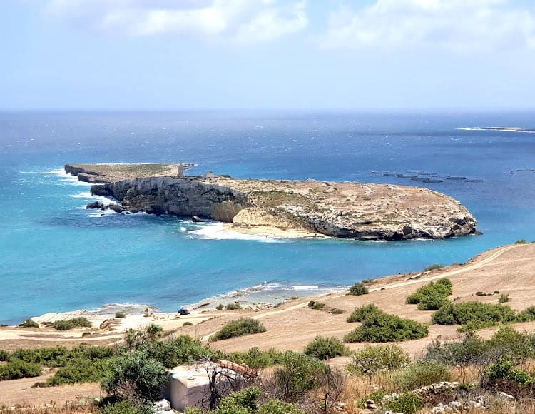
Saint Paul’s Island (Selmunett) consists of two islets connected by an isthmus. At the top of the island stands the imposing statue of Saint Paul, erected in 1845, commemorating the shipwreck of the apostle Saint Paul in Malta.
This timeless, deserted islet can be visited exclusively by boat. No modern constructions are present, except for some ruins and a small solar station.
Fifla and Filfoletta

Fifla and Filfoletta are two uninhabited rocky islands, located at the southern tip of Malta. These islands are notably visible from the cliffs of the main island, near the famous Blue Grotto.
Fifla extends over just under 700 meters in length and rises nearly 60 meters above sea level. It provides an ideal habitat for the breeding of many species of seabirds. As such, the island is protected and public access is prohibited.
As for the neighboring island, Filfoletta, it more closely resembles a “large rock,” measuring only a few dozen meters wide, it is of mainly geological interest.
